 |
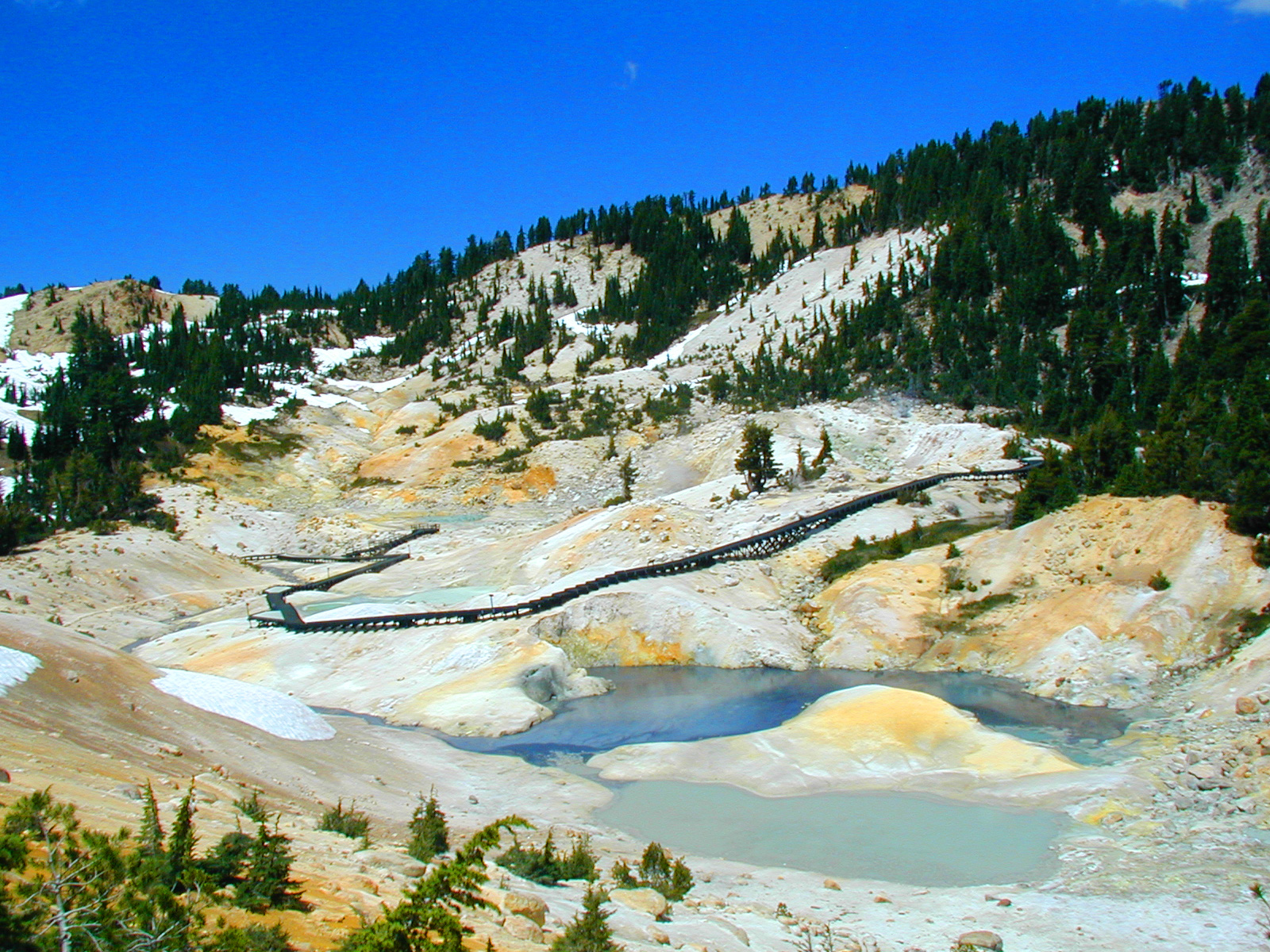
Bumpass Hell Trail on the way to Cold Boiling Lake
at Lassen Volcanic National Park (nationalparkguides.com)
|
A recently released U.S. Geological Survey map showing the Lassen Volcanic Center and associated volcanic fields in unprecedented detail is enabling scientists to develop derivative products to evaluate and assess regional volcanic hazards.
On Jan. 26, USGS scientist emeritus Patrick Muffler will present a public lecture in Menlo Park, CA, "Lassen Volcanic National Park -- a wonderland of volcanoes and thermal features", discussing how scientists study the volcanic and geothermal features of Lassen National Park and are working closely with the National Park Service to provide the public with current information about this volcanic region.
Who: Patrick Muffler, USGS Geologist Emeritus
What: Lecture on Lassen Volcanic Natural Park Map & related hazard products
When: Thursday, January 26th, 2012
12:15 noon —Lecture preview for USGS employees and reporters
7:00 p.m. —Public lecture (also available, streaming over the Internet)
Where: U.S. Geological Survey
Building 3 Auditorium, second floor
345 Middlefield Road
Menlo Park, CA 94025
More Information and Directions: